

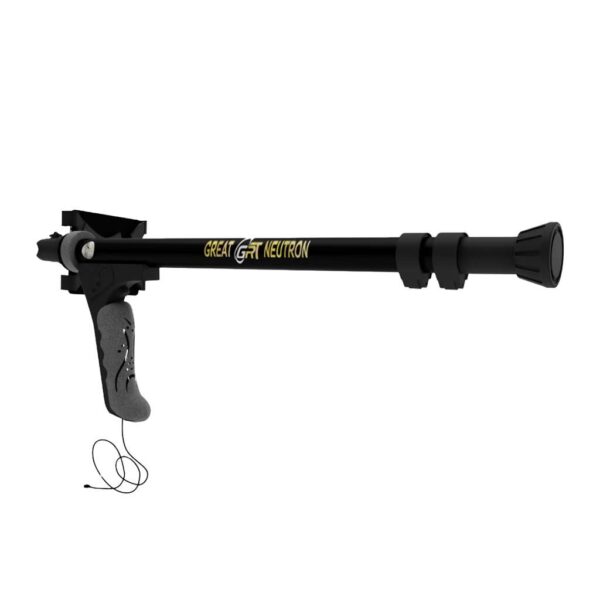
Description
Ground Navigator is the most advanced three-dimensional ground scanner and sophisticated metal detector produced by OKM, a major German business that specializes in monument discovery and buried valuables. It has a high degree of accuracy in recognizing subsurface places, allowing you to readily locate archaeological sites.
The equipment can create three-dimensional photos of the targets underground, and it has a great sensitivity to the frequencies of metal buried underground, allowing it to properly discern different types of metal and tell you if it is gold, silver, or otherwise.
The treasures detector Ground Navigator has been accredited by the world’s greatest exploration delegation and holds a number of international quality certificates, specializing in the discovery of golden treasures, archaeological tombs, and precious metals.
The German gold detector Ground Navigator is distinguished by an underground research depth of up to 40 meters, which is the maximum depth possible to achieve real results with the device. It is also guaranteed for five years by the Gold Master global company, and we provide a practical field experience on the device so you can test drive it before purchasing.
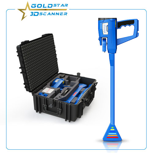
3D Ground Navigator
The 3D GROUND NAVIGATOR gold detector has the following distinct characteristics and technical specifications: A bilingual device that lets all prospectors and users throughout the world to utilize it quickly and easily.
The equipment is supported by an advanced analytical program, a magnetic scale system that assists the user in determining the target center and measuring the target’s signal strength.
The system is distinguished by a distinction system that aids in the differentiation of precious metals such as gold, silver, and other precious metals, as well as non-precious metals such as iron and other precious metals. This technique also aids in the identification of underground caves, tunnels, cemeteries, and mines.
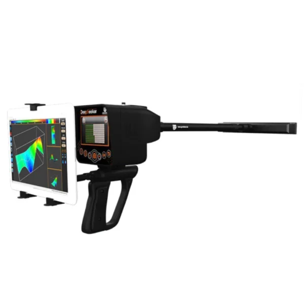
Geological scanning system that employs 3D imaging and direct imaging of subterranean items.
An innovative high-resolution tablet technology that allows the user to see the results immediately after scanning the target.
The innovative technology for estimating the shape of buried items, which achieves 98% of the true shape of the target and works at underground depths of 40 meters.
Search Systems
Ground Navigator features several search systems
1 – 3D imaging system and direct analysis of the objectives
Receives signals from the console and transforms them into a true high definition 3D geologic image
2 – a system to distinguish between minerals, caves and spaces
Highly accurate target identification system, identifying precious metals, precious metals, caves and spaces
3 – Voice search system to identify the target
The voice search system generates sound signals to accurately detect and identify targets
4 – High – precision direct search system
The device is equipped with a system of direct detection of targets and determine their position directly and the target point
5 – a system to measure magnetism and determine the presence of targets in the ground
Precise and sophisticated technology works to measure the magnetic field strength of the tambourine in the ground to large depths and clearly identify the center of the target
Device program Functions
Control Unit
Dimensions (H x W x D): 180 x 230 x 120 mm
Weight: about 1.2 kg
Protection Class: IP40
Operating time (internal battery): approx. 24 hours
Charging time (internal battery): approx. 3 hours
Operating time (optional Power Pack): approx. 48 hours
Input voltage (charger socket, max.): 19 VDC / 0.6 A (max. 24 VDC / 0.5 A)
Input voltage (optional Power Pack): 12.5 VDC / 0.9 A (max. 24 VDC / 0.5 A)
Processor / Main CPU: Cortex M3, 32 MHz
Processor / Slave CPU: Cortex M0, 24 MHz
Display: 3.5” Resistive touch, 480 x 320 Pixel
Display CPU: Cortex M3, 32 MHz, 128 KB RAM
Data memory: 4 GB
Sample rate: 1024 values / second
Measurement resolution: 16 bit
Operating temperature: –10°C – 60°C
Storage temperature: –20°C – 70°C
Audio: Internal speaker / Bluetooth
Waterproof: No
Air humidity: 5% – 75%
Super Sensor
Length: 850 mm
Weight: 0.85 kg
Diameter, Shaft / LED Orbit: 50 mm / 65 mm
Diameter tube / LED Orbit: 50 mm / 65 mm
Sensor Technology: SCMI-15-D
Data Transmission
Technology: Bluetooth
Frequency: 2.4 – 2.4835 GHz
Maximum Transfer Rate: 1 Mbps
Receiving Sensitivity: –85 dBm
Maximum Range: approx. 10 m
Computer minimum requirements
CD-ROM drive: minimum 4x
Interface (Data transmission): USB
Free disk space: minimum 50 MB
Working memory (RAM): minimum 256 MB
Graphic card: minimum 128 MB, OpenGL-compatible
Processor: minimum 1.2 GHz
Operating system: Windows 7, Windows 8, Windows 10
The technical data are average values. Minor deviations are possible during operation.

Reviews
There are no reviews yet.